Navitools brings catch, position and fuel use together on board
Client: Navitools · Sector: Fishing
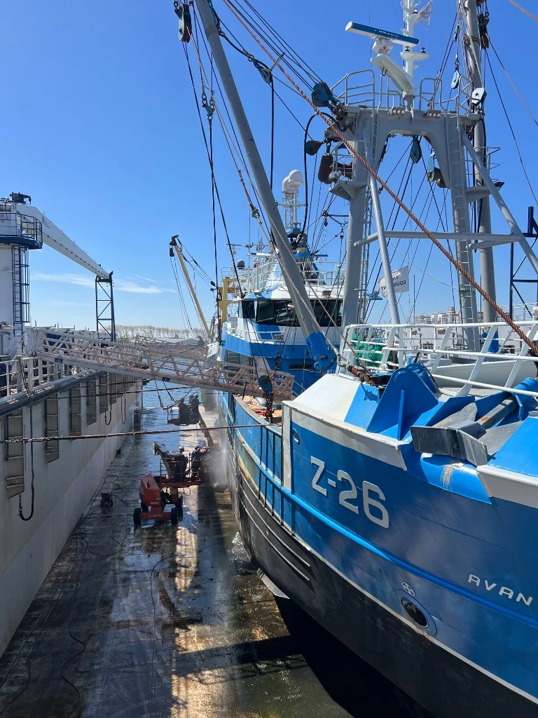
On a fishing vessel, the data is actually already there. The scale knows the weight of the catch, the engine tracks fuel consumption, a sensor measures the load on the net and the navigation system knows where the vessel is. The problem is that each of those systems keeps its own figures. If a skipper wants to know what a haul cost, or a catch registration has to show weight, location and time together, someone has to piece that data together afterwards.
That is becoming more and more important. The European fisheries rules require fishers to record their catch digitally, completely and verifiably, with a clear link between what was caught, where and when. Anyone who has to assemble that by hand from separate systems loses time and runs the risk that the figures do not add up.
Navitools wanted to turn this into one whole, so that the registration happens automatically during fishing. We built the onboard computer and the platform ashore.
The result
Fishers are compliant without extra work. Every weighing automatically gets the position and time attached on board. The data the European rules ask for is created during fishing itself, rather than afterwards on paper or in a separate program. The skipper does not have to retype anything, and what gets reported comes straight from the instruments.
The authorities see the data almost immediately. The platform makes the same records available to the inspecting authorities. As long as the vessel has a connection, the measurements come in close to real time. Whatever was measured out of range is stored on board and forwarded as soon as the connection is back, with the original position and the original time. Inspection no longer has to wait until the vessel is back in port and the paperwork has been checked.
The shipowner gets insight into the fleet. In the dashboard, the skipper and the shipowner can see per trip and per haul how much was caught, how much fuel it took and where the fishing took place. That makes it easier to compare trips and fine-tune how the vessel is operated.
What we built
The solution runs from a computer in the wheelhouse to an API ashore. We developed every layer ourselves, so the data passes through a single chain from the sensor all the way to the dashboard.
An edge device on board
On board there is an industrial edge computer connected to the vessel systems. It has to withstand vibration, moisture and a power supply that drops out now and then, and it has to work on its own for days when the vessel is out of range.
Our own Yocto Linux
The device runs a Linux distribution that we build ourselves with Yocto. It contains only what the vessel needs, so we know and can maintain every component. After a power interruption the system restarts by itself and carries on without anyone having to fix anything. The edge device is linked to Otaryx, our remote management platform. With it we roll out new software versions as soon as the vessel has a connection, without anyone having to go on board.
An application that combines the vessel data
The instruments on board each speak their own protocol: MDB, NMEA and CAN. Our application on the edge device reads them all, converts the measurements to one common format and filters out what the vessel does not need to keep. Every measurement immediately gets the GPS position, the heading and a timestamp.
That linking deliberately happens at sea. A weighing that only gets a position in port carries the position of the harbor instead of the fishing ground, and then the catch registration is no longer correct.
Every weighing linked to a box in the hold
A weighing on its own does not tell you where the fish ends up. That is why the application links every weighing to the box in the hold that the catch goes into. For each box you know what is in it, how much it weighs, and where and when it was caught. Nobody has to reconstruct that at unloading.
From vessel to server
The application sends the combined data to a server ashore. Because a connection is not always available at sea, the edge device first stores everything locally. When there is a connection, the data goes through right away. When it drops, everything is forwarded as soon as the vessel is back in range, with the original position and the original time.
A dashboard and an API
Ashore, the data from all vessels comes together. In the dashboard, the skipper and the shipowner follow the catch, fuel consumption and fishing grounds per trip, per haul and per box. Through an API, other systems can retrieve the same data and process it further, for example for reporting to the authorities for European catch registration and the electronic logbook (ERS), or for the shipowner’s own software.
Because everyone looks at the same source, there is no longer any difference between what the skipper wrote down and what the authorities receive. The central data also forms the basis for further analysis, for example of fuel consumption across the whole fleet.